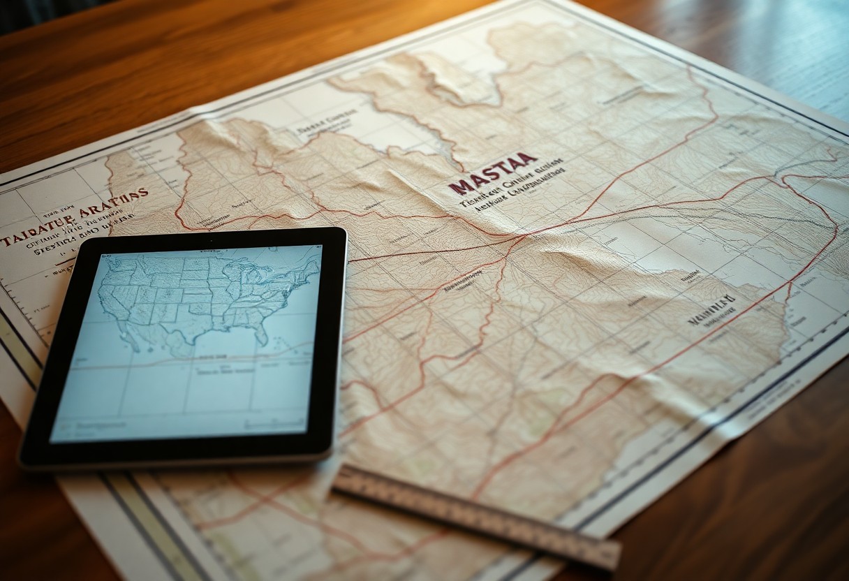
How Can Digitizing Hard Copy Maps Transform Land Grid Management?

There’s a significant shift occurring in land grid management with the digitization of hard copy maps. By transitioning to digital formats, you can enhance accuracy, streamline data access, and facilitate better decision-making. This transformation not only saves time but also optimizes land use and planning processes, allowing you to respond effectively to changing land management … Read more

What Role Do Townships And Ranges Play In Digitizing Hard Copy Legal Descriptions?

Most professionals involved in land management and real estate understand the importance of accurate legal descriptions. Townships and ranges serve as foundational frameworks for delineating property boundaries, which becomes crucial when converting hard copy documents into digital formats. By familiarizing yourself with these geographic divisions, you enhance your ability to navigate and interpret digital land … Read more

How Do Sections And Quarter Sections Simplify Digitizing Hard Copy Maps?

Many map enthusiasts and professionals find that understanding sections and quarter sections can significantly streamline the process of digitizing hard copy maps. These divisions, rooted in the Public Land Survey System, break vast landscapes into manageable parcels, allowing you to easily identify and convert geographic data. By leveraging these standardized units, you can enhance accuracy … Read more

Why Are Principal Meridians Essential In Digitizing Hard Copy Legal Descriptions?

Many professionals in the legal and real estate fields encounter the challenge of converting hard copy legal descriptions into a digital format. Understanding principal meridians is vital for ensuring accurate land surveys and property boundaries. These meridians guide the mapping process, giving you the foundation necessary for integrating traditional descriptions with modern technology. By mastering … Read more

How Do Survey Monuments Improve Accuracy When Digitizing Hard Copy Maps?

Just as a foundation supports a building, survey monuments provide a reliable reference that enhances the accuracy of your digitized maps. These physical markers establish precise geographical points, ensuring that your hard copy maps are transformed into accurate digital representations. By leveraging these monuments, you can reduce errors and maintain fidelity in spatial data, necessary … Read more

What Challenges Do Meander Lines Present In Digitizing Hard Copy Legal Descriptions?

Legal descriptions containing meander lines pose distinct challenges when you attempt to digitize hard copy documents. These meander lines, which reference the irregularities of water bodies, can lead to inconsistencies in data accuracy and interpretation. You may encounter difficulties in using traditional surveying methods, and this can result in complex mapping issues. Understanding these challenges … Read more

How Can Quarter-Quarter Sections Streamline Digitizing Hard Copy Maps?

Many professionals face the challenge of converting hard copy maps into digital formats efficiently. By utilizing quarter-quarter sections, you can enhance the precision and organization of your digitization process. This method divides larger land parcels into smaller, manageable pieces, making it easier for you to process and integrate map data. Understanding the benefits of this … Read more

Why Are Lot And Tract Designations Critical In Digitizing Hard Copy Legal Descriptions?

With the increasing shift towards digital records, understanding the significance of lot and tract designations in legal descriptions is crucial for you. These designations serve as the backbone for accurately translating hard copy documents into digital formats, ensuring clarity and consistency in property identification. By grasping their importance, you can enhance the reliability of your … Read more

What Workflow Best Supports Digitizing Hard Copy Maps Into GIS Frameworks?

It’s necessary for you to understand the effective workflow that streamlines the process of digitizing hard copy maps into Geographic Information System (GIS) frameworks. This guide will walk you through each step, from preparing your materials and selecting appropriate software to ensuring accurate data input and validation. By following these structured methods, you can enhance … Read more

How Do Base Lines Shape Accuracy While Digitizing Hard Copy Legal Descriptions?

Many professionals in the legal field often underestimate the importance of base lines when digitizing hard copy legal descriptions. Your understanding of these foundational lines directly impacts the accuracy of geographic information systems (GIS) and the reliability of the legal data being digitized. By comprehending how base lines establish reference points and influence measurement techniques, … Read more