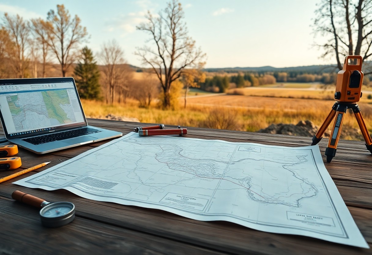
How Can Property Boundary Mapping Prevent Legal Disputes?

With clear property boundary mapping in place, you can significantly reduce the risk of legal disputes related to land ownership. Understanding the precise limits of your property not only protects your rights but also helps you avoid costly conflicts with neighbors. By investing in accurate boundary surveys, you empower yourself with the information needed to … Read more

How Can Graphical Lease Analytics Transform Your Lease Negotiations?

Analytics can dramatically change the way you approach lease negotiations, providing you with insights that enhance decision-making. By leveraging graphical lease analytics, you can visualize complex data, identify trends, and forecast potential outcomes, empowering you to negotiate more effectively. This technology not only simplifies your analysis but also allows you to present compelling arguments to … Read more

How Do Footage Calls Impact Your Drilling Applications And Lease Agreements?

It’s necessary to understand how footage calls can affect your drilling applications and lease agreements. These calls not only dictate the terms of where drilling can occur but also influence the financial and operational aspects of your projects. By grasping the implications of footage calls, you can make more informed decisions that align with your … Read more

What Are The Esoteric Benefits Of Using GIS For Strategic Well Pad Placement?

Just as you seek the most efficient solutions in your oil and gas operations, leveraging Geographic Information Systems (GIS) for strategic well pad placement can unlock not only operational advantages but also deeper insights into environmental and social dimensions. By utilizing GIS, you can visualize complex data layers, enhance site selection, and optimize resource allocation. … Read more

What Role Do Topographic Anomalies Play In Ideal Well Pad Planning Using GIS?

Just as you navigate a complex terrain, understanding topographic anomalies is imperative for optimal well pad planning. In this post, you will explore how Geographic Information Systems (GIS) can help identify these anomalies, ensuring that your well pad placements maximize efficiency while minimizing environmental impact. By leveraging GIS technology, you can gain valuable insights into … Read more

How Can GIS Revolutionize The Planning Of Well Pads In Complex Lease Agreements?

You may be aware that managing well pads within intricate lease agreements can be challenging. Geographic Information Systems (GIS) offer innovative solutions to streamline this planning process. By providing spatial data analysis and visualization, GIS empowers you to make informed decisions, optimize land use, and navigate regulatory requirements with greater ease. In this post, you’ll … Read more

What Are The Best Practices For Accurate Easement Mapping?

Many property owners and developers face challenges when it comes to easement mapping, which is vital for maintaining land use rights and ensuring clarity in property boundaries. Accurate easement mapping not only protects your interests but also helps prevent legal disputes. In this blog post, you will discover the best practices that will guide you … Read more

Why Should You Consider Digitizing Your Hard Copy Maps?

Digitizing your hard copy maps opens up a world of advantages that can enhance your accessibility and usability. By converting physical maps into digital formats, you enable easier storage, retrieval, and sharing of this valuable information. Digital maps not only take up less physical space but also offer interactive features that can improve navigation and … Read more

How Does Utility Mapping Enhance Emergency Response Planning?

Many professionals engaged in emergency response overlook the importance of utility mapping in their planning. By accurately identifying and understanding the locations of various utilities, such as water, gas, and electricity, you equip your team with the knowledge needed to navigate dangerous situations safely and efficiently. This comprehensive mapping allows you to anticipate potential hazards, … Read more

What Role Do Legal Descriptions Play In Property Boundary Surveys?

There’s a vital connection between legal descriptions and property boundary surveys that every property owner should understand. When you engage in property transactions or disputes, the legal description serves as the foundation for defining your land’s exact boundaries. This post will guide you through the significance of these legal texts, explaining how they clarify ownership … Read more