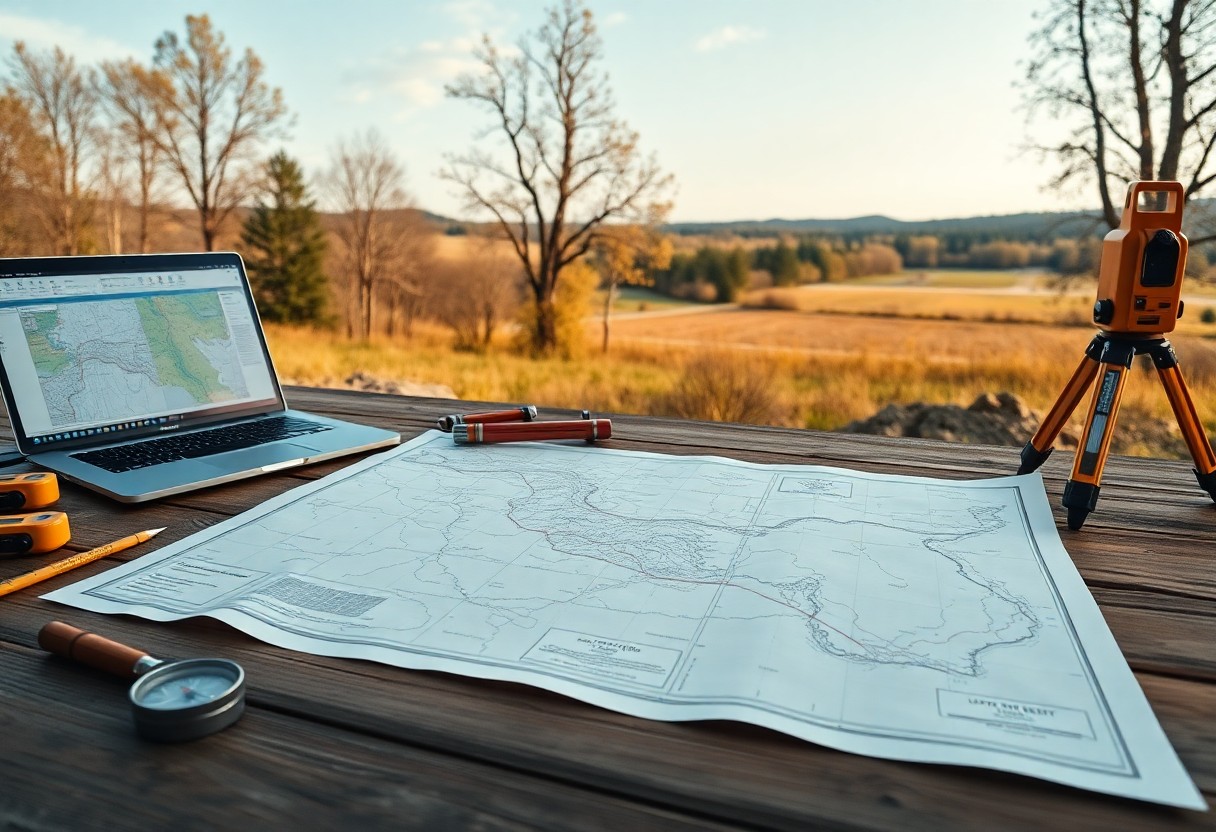
How Can Property Boundary Mapping Prevent Legal Disputes?
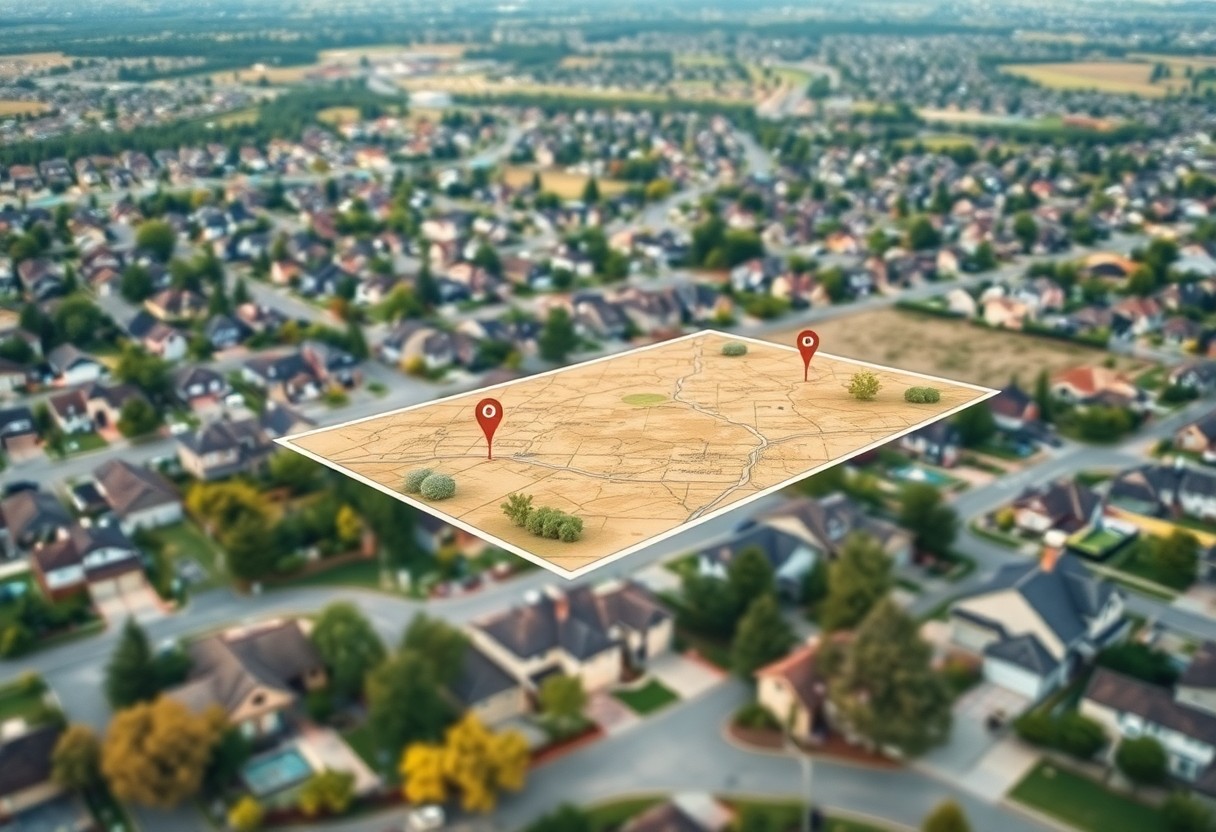
With clear property boundary mapping in place, you can significantly reduce the risk of legal disputes related to land ownership. Understanding the precise limits of your property not only protects your rights but also helps you avoid costly conflicts with neighbors. By investing in accurate boundary surveys, you empower yourself with the information needed to … Read more