How Do Survey Monuments Improve Accuracy When Digitizing Hard Copy Maps?

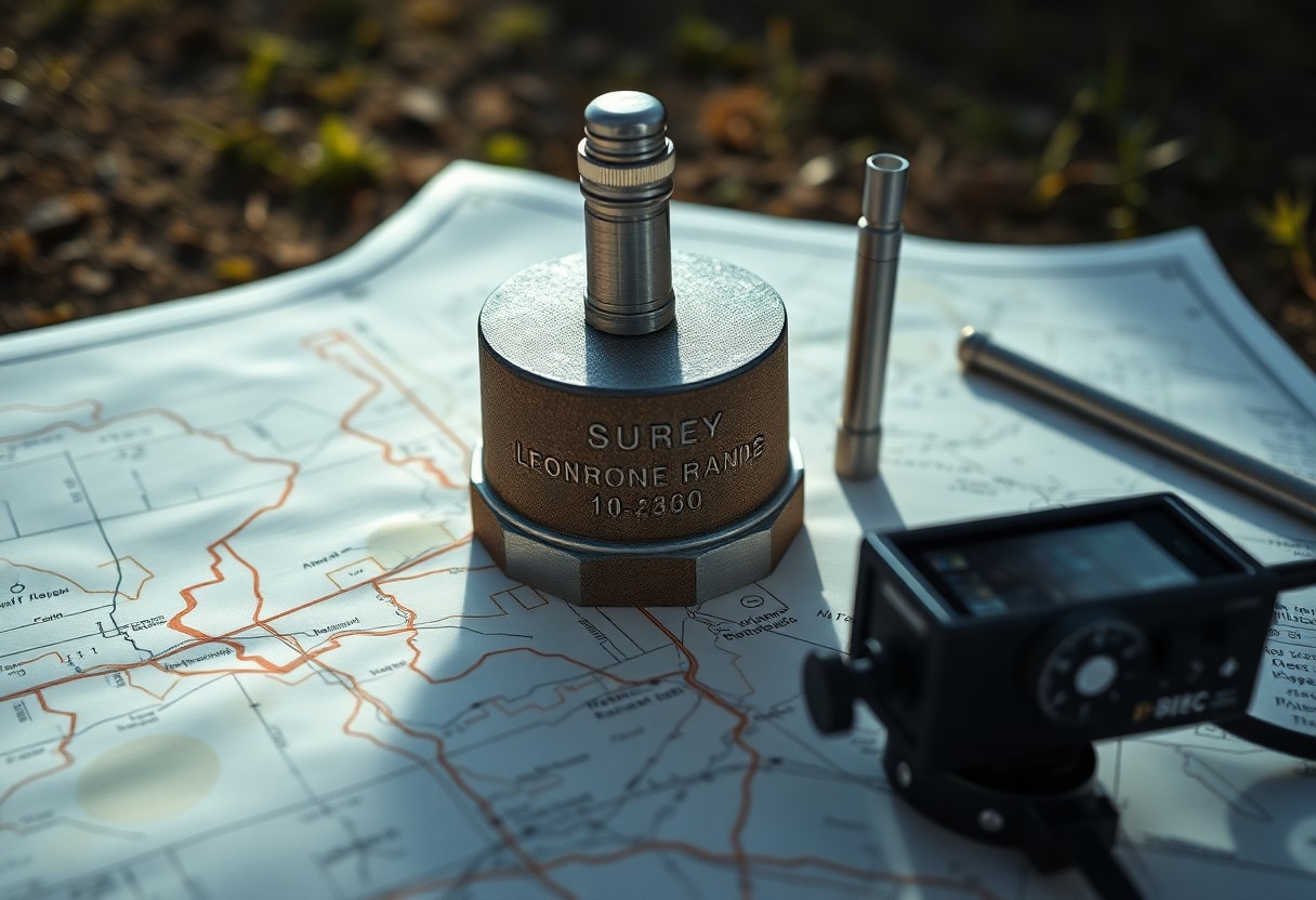
Just as a foundation supports a building, survey monuments provide a reliable reference that enhances the accuracy of your digitized maps. These physical markers establish precise geographical points, ensuring that your hard copy maps are transformed into accurate digital representations. By leveraging these monuments, you can reduce errors and maintain fidelity in spatial data, necessary … Read more

What Challenges Do Meander Lines Present In Digitizing Hard Copy Legal Descriptions?

Legal descriptions containing meander lines pose distinct challenges when you attempt to digitize hard copy documents. These meander lines, which reference the irregularities of water bodies, can lead to inconsistencies in data accuracy and interpretation. You may encounter difficulties in using traditional surveying methods, and this can result in complex mapping issues. Understanding these challenges … Read more

Why Are Lot And Tract Designations Critical In Digitizing Hard Copy Legal Descriptions?

With the increasing shift towards digital records, understanding the significance of lot and tract designations in legal descriptions is crucial for you. These designations serve as the backbone for accurately translating hard copy documents into digital formats, ensuring clarity and consistency in property identification. By grasping their importance, you can enhance the reliability of your … Read more

How Do Base Lines Shape Accuracy While Digitizing Hard Copy Legal Descriptions?

Many professionals in the legal field often underestimate the importance of base lines when digitizing hard copy legal descriptions. Your understanding of these foundational lines directly impacts the accuracy of geographic information systems (GIS) and the reliability of the legal data being digitized. By comprehending how base lines establish reference points and influence measurement techniques, … Read more

Why Is Regulatory Compliance Tracking Vital For Land Lease Management?

Compliance with regulatory requirements is necessary for successful land lease management. As a land lease manager or property owner, you must ensure that your operations align with local, state, and federal regulations. This not only protects your investments but also enhances your reputation and fosters trust with stakeholders. By effectively tracking compliance, you can avoid … Read more

Why Is Data Layer Integration Critical For Comprehensive Land Mapping?

Many land mapping professionals underestimate the importance of data layer integration in creating accurate and comprehensive maps. By combining multiple datasets—from topography and land use to infrastructure and environmental features—you can significantly enhance the depth and usability of your land mapping projects. Understanding how each data layer interacts allows you to make informed decisions, streamline … Read more

What Are The Best Practices For Accurate Easement Mapping?

Many property owners and developers face challenges when it comes to easement mapping, which is vital for maintaining land use rights and ensuring clarity in property boundaries. Accurate easement mapping not only protects your interests but also helps prevent legal disputes. In this blog post, you will discover the best practices that will guide you … Read more

How Do Environmental Impact Assessments Influence Land Mapping Decisions?

Assessments play a key role in shaping land mapping decisions by evaluating potential environmental impacts before development begins. By understanding how these assessments work, you can gain insight into their importance in sustainable land use and management practices. They help identify sensitive areas, guide zoning regulations, and inform stakeholders about ecological considerations, ensuring that your … Read more

What Valuable Insights Can Historical Land Records Provide For Modern Landowners?

Many landowners may underestimate the benefits of exploring historical land records, yet these documents can offer significant insights into your property’s past. By examining ownership patterns, land use, and development trends, you can better understand your land’s history and its potential future. These records can also assist in clarifying boundaries, revealing easements, and uncovering legal … Read more

How Can Cartographic Precision Mitigate Land Mapping Challenges In Urban Planning?

Cartography plays a vital role in overcoming the complexities of land mapping within urban planning. By leveraging precise cartographic techniques, you can enhance your understanding of spatial relationships and land use patterns, leading to more informed decision-making. This post will explore how incorporating accurate mapping technologies can improve your urban planning processes, helping to address … Read more