Why Are GIS Mapping Tools Essential For Today's Land Mapping?

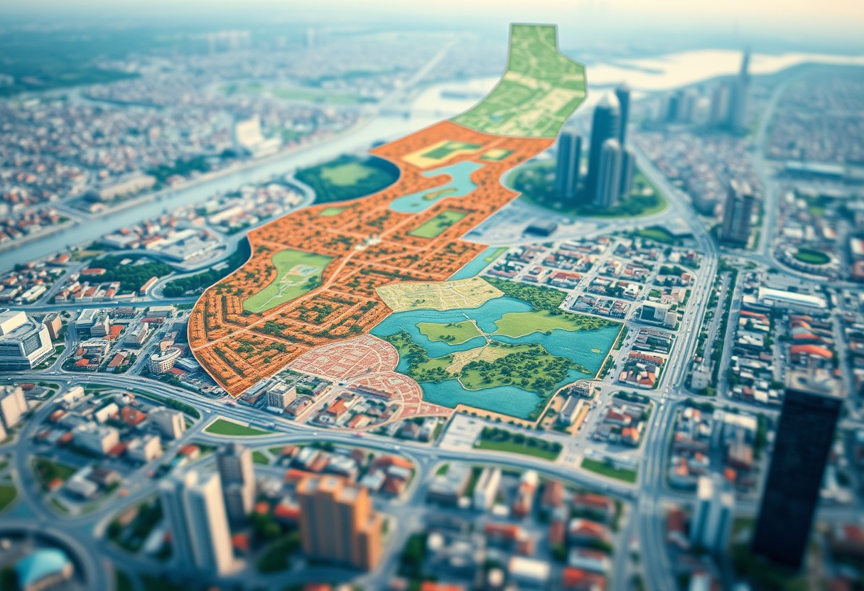
Many professionals in the fields of urban planning, environmental science, and real estate turn to GIS mapping tools to enhance their land mapping efforts. These advanced tools enable you to visualize, analyze, and interpret spatial data like never before, providing invaluable insights for decision-making. With the ability to integrate various data layers, assess land use, … Read more

How Do Geospatial Technologies Revolutionize The Quintessence Of Land Mapping?

There’s no denying that geospatial technologies have transformed how you map and understand land. By integrating advanced tools like GIS, GPS, and remote sensing, you can now visualize, analyze, and interpret spatial data in unprecedented ways. This post will guide you through the innovative ways these technologies enhance your capabilities in land mapping, making your … Read more

Can Meticulous Zoning Practices Alleviate The Paradoxes Of Land Mapping?

Over time, land mapping has revealed intricate paradoxes that complicate urban development and resource management. You may wonder how meticulous zoning practices can address these challenges. By implementing detailed zoning regulations, you can enhance land use efficiency, reduce conflicts among stakeholders, and create harmonized communities. This blog post will explore how thoughtful zoning can clear … Read more

How Does The Confluence Of Environmental Factors Challenge Traditional Land Mapping Techniques?

Understanding Traditional Land Mapping Techniques The traditional land mapping techniques have evolved significantly, beginning with rudimentary methods such as drawings on parchment and hand-drawn maps, to more precise, technology-driven approaches embraced today. As societies progressed, so did the complexity of mapping tools, integrating aspects of geography, culture, and politics into various mapping systems. (A key … Read more

How Do Land Maps Enhance Effective Land Management Strategies?

It’s vital to recognize the critical role that land maps play in enhancing your land management strategies. These detailed representations provide you with a visual understanding of your terrain, resources, and boundaries, allowing for informed decision-making. By utilizing effective land maps, you can identify patterns, assess land usage, and plan for sustainable development. Whether you’re … Read more

How Can Custom Mapping Solutions Revolutionize Land Management Practices?

Revolutionize your approach to land management with cutting-edge custom mapping solutions that enhance efficiency, accuracy, and decision-making. These tailored mapping tools empower you to visualize and analyze land use, streamline resource allocation, and improve environmental impact assessments. By integrating technology with traditional land management practices, you can transform how you manage your assets, ultimately leading … Read more

How Can Forestry Mapping Benefit Your Land Management Strategy?

You value the intricate balance of ecosystems on your land. By integrating forestry mapping into your land management strategy, you can harness the power of technology to make informed decisions that promote sustainability and conservation. Understanding the spatial distribution of tree species, forest health, and topography can optimize resource allocation, monitor changes over time, and … Read more

Why Are Vegetation Maps Essential For Environmental Conservation?

Most significantly, vegetation maps are your key to understanding the fragile ecosystems that support diverse plant and animal life. By providing crucial insights into the distribution of vegetation types, these maps empower you to make informed decisions about land use, habitat restoration, and biodiversity conservation efforts. Embracing the wisdom of these maps, you can actively … Read more

What Is The Role Of Digital Mapping Technology In Texas Surveys?

Technology has revolutionized the way surveys are conducted in the state of Texas, particularly with the use of digital mapping technology. By harnessing the power of geographic information systems (GIS) and satellite imagery, digital mapping technology allows surveyors to create accurate and detailed maps of the land. These maps not only provide valuable information for … Read more

How Do Automated Mapping Systems Simplify Land Ownership In Texas?

From sprawling ranches to urban developments, land ownership in Texas is a significant aspect of the state’s economy and culture. Automated mapping systems have revolutionized the way land ownership is managed and tracked in Texas. These sophisticated systems utilize cutting-edge technology to accurately map and delineate property boundaries, simplifying the often complex process of land … Read more