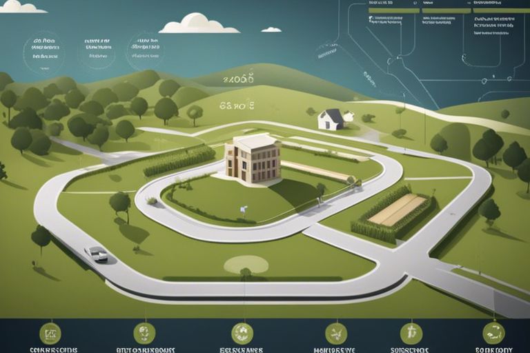
How Can GIS Revolutionize The Planning Of Well Pads In Complex Lease Agreements?

You may be aware that managing well pads within intricate lease agreements can be challenging. Geographic Information Systems (GIS) offer innovative solutions to streamline this planning process. By providing spatial data analysis and visualization, GIS empowers you to make informed decisions, optimize land use, and navigate regulatory requirements with greater ease. In this post, you’ll … Read more

What Role Does Topographical Complexity Play In Effective Land Planning Strategies?

Many land planners and developers overlooking the significance of topographical complexity may find their projects challenging and inefficient. Understanding the terrain’s variations is vital in optimizing land use, managing resources effectively, and preserving the environment. By considering factors such as slope gradients, elevation changes, and natural features, you can make informed decisions that align with … Read more

**Mastering GIS Data Downloads – 9 Steps To Enhance Your Planning Projects**

Just as a skilled craftsman needs the right tools, you need access to quality GIS data for your planning projects. This guide will walk you through nine necessary steps that will help you effectively download and utilize GIS data. By mastering these processes, you can enhance your planning efforts and make informed decisions based on … Read more

**Effective Community Planning – 8 Critical Steps Using Owner Polygons And Land Maps**

You hold the key to transforming your community through effective planning, and understanding the use of owner polygons and land maps is necessary. This guide will walk you through eight critical steps to create a well-structured plan that addresses the needs of your community while ensuring sustainable development. By leveraging geographical data and involving local … Read more

Why You Should Consider GIS Mapping Services For Land Management

There’s a powerful tool available for efficient and informed land management – Geographic Information System (GIS) mapping services. Incorporating GIS mapping into land management processes can revolutionize the way land is monitored, analyzed, and utilized. By utilizing GIS mapping technology, organizations can make data-driven decisions, optimize resource allocation, reduce costs, and improve overall land management … Read more