How Do Sections And Quarter Sections Simplify Digitizing Hard Copy Maps?
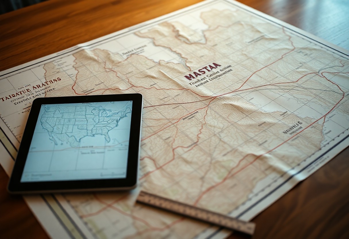
Many map enthusiasts and professionals find that understanding sections and quarter sections can significantly streamline the process of digitizing hard copy maps. These divisions, rooted in the Public Land Survey System, break vast landscapes into manageable parcels, allowing you to easily identify and convert geographic data. By leveraging these standardized units, you can enhance accuracy … Read more