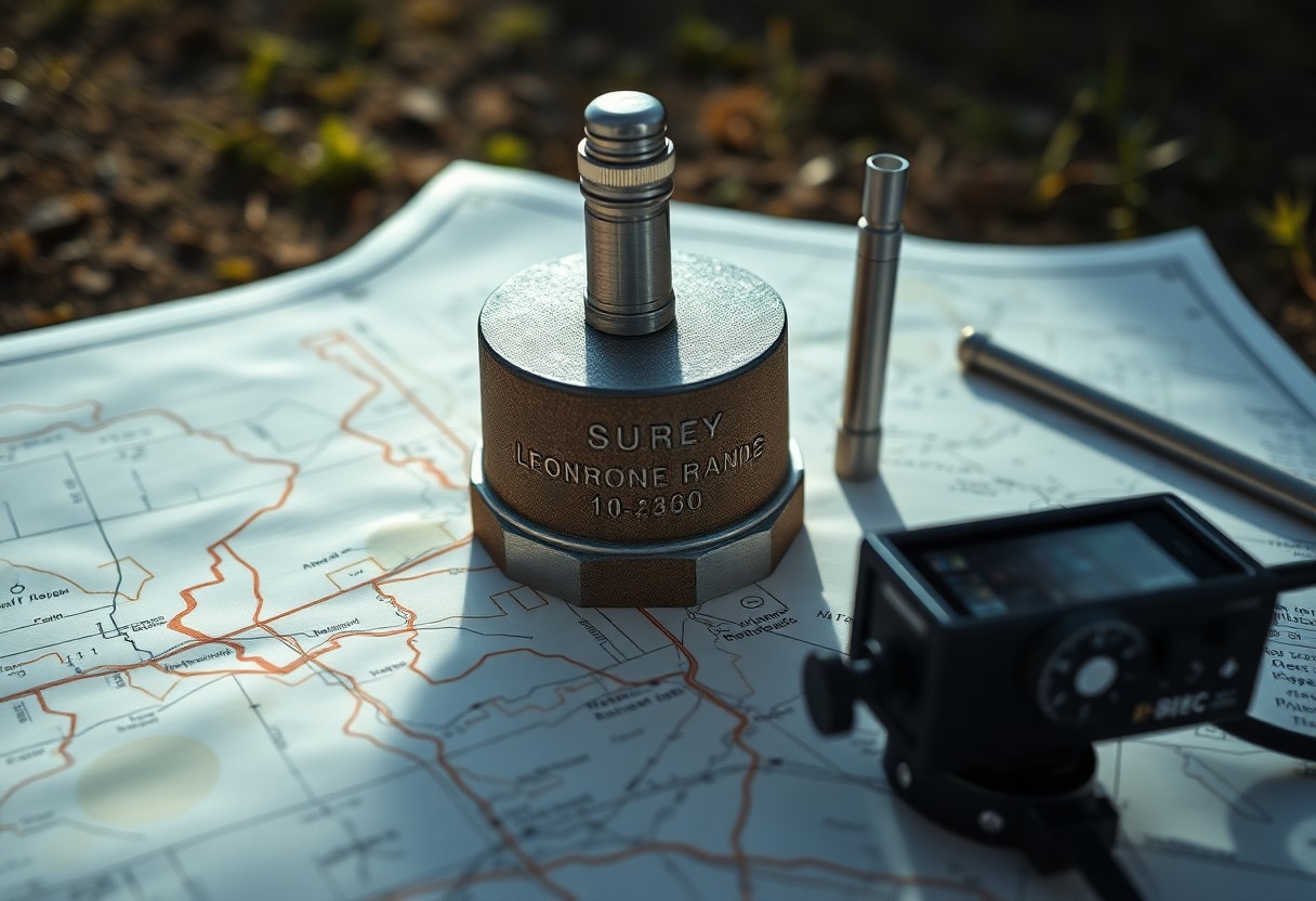
How Do Survey Monuments Improve Accuracy When Digitizing Hard Copy Maps?
Just as a foundation supports a building, survey monuments provide a reliable reference that enhances the accuracy of your digitized maps. These physical markers establish precise geographical points, ensuring that your hard copy maps are transformed into accurate digital representations. By leveraging these monuments, you can reduce errors and maintain fidelity in spatial data, necessary … Read more

