How Do Geospatial Technologies Revolutionize The Quintessence Of Land Mapping?
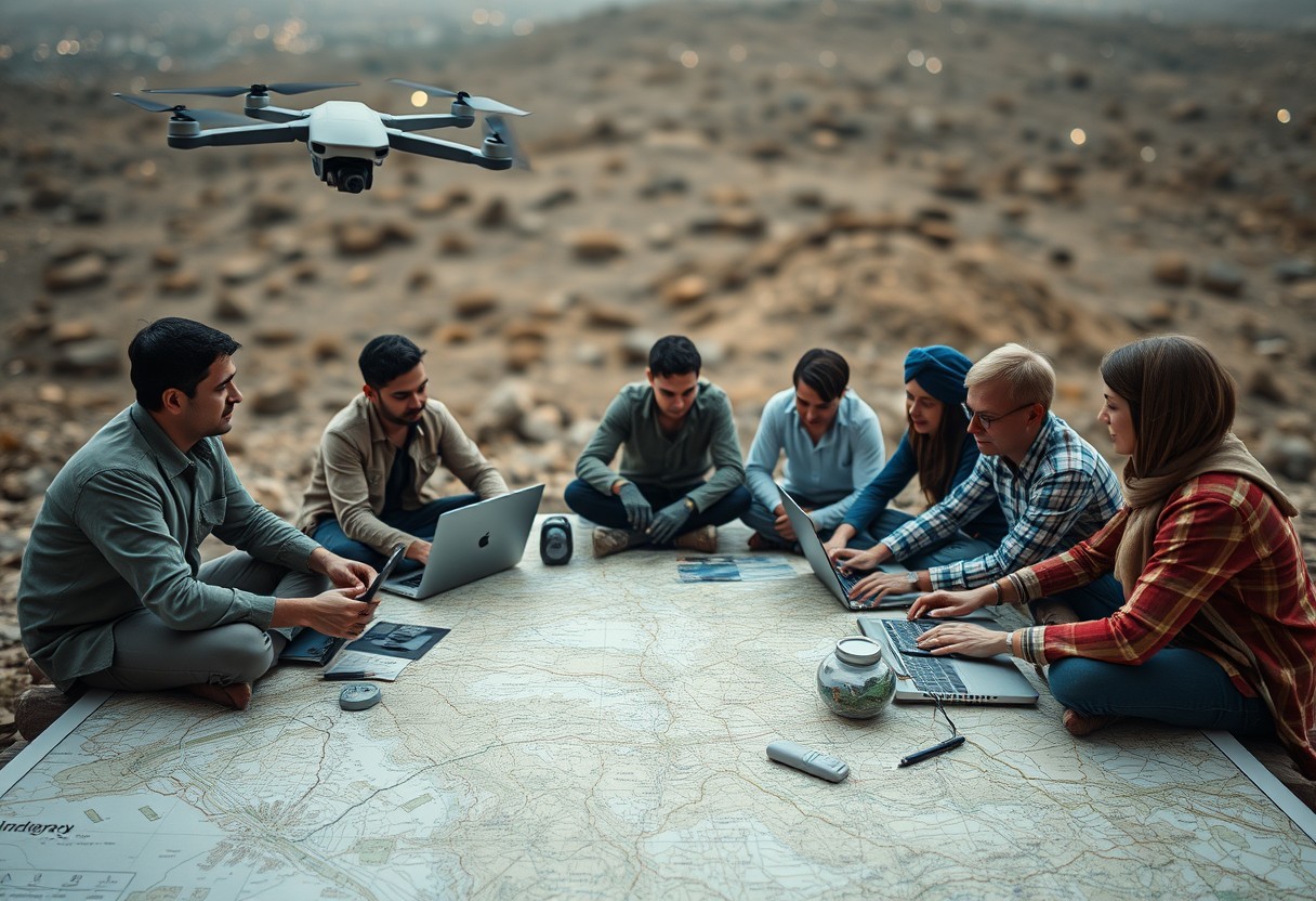
There’s no denying that geospatial technologies have transformed how you map and understand land. By integrating advanced tools like GIS, GPS, and remote sensing, you can now visualize, analyze, and interpret spatial data in unprecedented ways. This post will guide you through the innovative ways these technologies enhance your capabilities in land mapping, making your … Read more

